Image courtesy of Wikimedia Commons.
We often forget the southern United States was part of Mexico before the Treaty of Guadalupe Hidalgo. But little is known about the Camino Real de Tierra Adentro, the route that united them.
Camino Real de Tierra Adentro encompasses a history as rich as its path. Its historical importance earned this Camino a place on the list of World Heritage Sites by UNESCO in 2010.

The Camino Real de Tierra Adentro covers 2,900 kilometers (1801.976 miles) from Mexico to the United States, making it the longest and oldest in the Americas. This route was laid out in the 16th century by the Spaniards to develop trade, facilitate military campaigns, and support colonization and evangelization in the north of New Spain.
The Camino Real de Tierra Adentro includes the State of Mexico, Mexico City, Queretaro, Guanajuato, Jalisco, Aguascalientes, San Luis Potosi, Chihuahua, Durango, Zacatecas and New Mexico in the United States.
Two world thresholds
The Camino Real de Tierra Adentro – also known as “Camino de Plata” (Silver Road) – starts in San Juan Pueblo, New Mexico. From the Mexican perspective, this route starts in Mexico City, and before the Spaniards arrived, native peoples already traveled the route for trading or hunting.
An expedition led by Juan de Oñate in 1598, was the first one to settle in the region of what is now New Mexico. Oñate followed by a group of soldiers, priests, Indians, and mestizo guides established Santa Fe as the province of New Spain. San Juan de Los Caballeros (Ohkay Owingeh), north of Santa Fe, was the capital of the province.
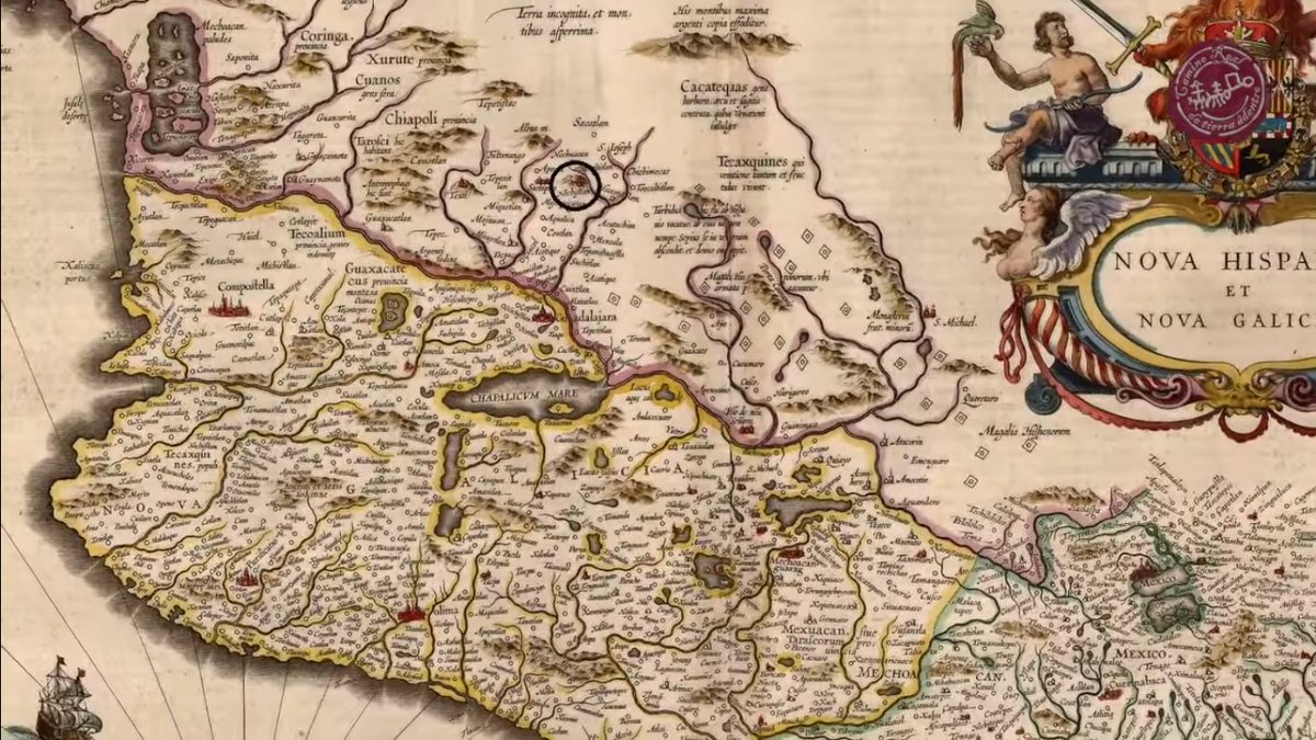
During that time, the road was used as a main communication and trade route. It was the link used to transport food, animals and the silver extracted from the mines of San Luis Potosí, Guanajuato, and Zacatecas.
In 1680, Popé, the religious leader of the Ohkay Owingeh Pueblo, led a revolt against Spanish colonial rule. The Spanish and other residents of Pueblo de San Juan were evicted and settled to the south, in what is now El Paso, Texas, and Juarez, Chihuahua.
However, the Spanish armada commanded by Diego de Vargas recaptured New Mexico in 1692. The Camino remained active throughout the Spanish period, about two hundred years.
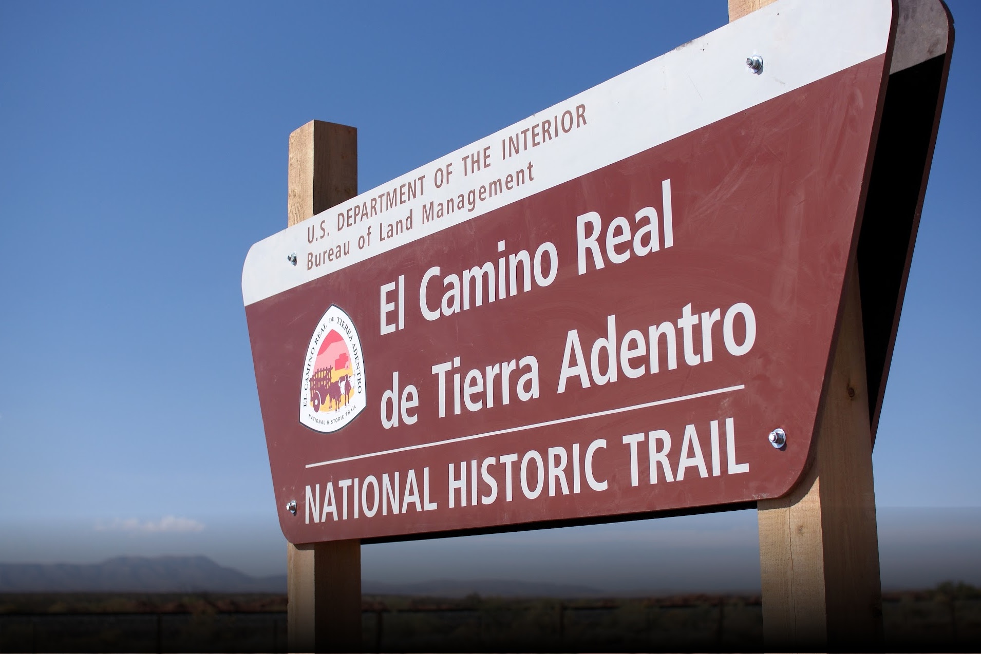
Today, the Camino Real de Tierra Adentro in U.S. territory is 646 km long (401.406 miles) and, in 2000, was declared a National Historic Trail.
This trail has witnessed many exchanges not only economically but also culturally. It knows no political boundary, and history celebrates the connections between races and Hispanidad.

Fun Facts:
- Don Oñate was also known for his mistreatment of the Indians, for which he was exiled from New Mexico by the Spanish Crown.
- The Indian Revolt led by Popé was the first successful revolt against the Spanish and succeeded in keeping the Spaniards out of the territory for twelve years.
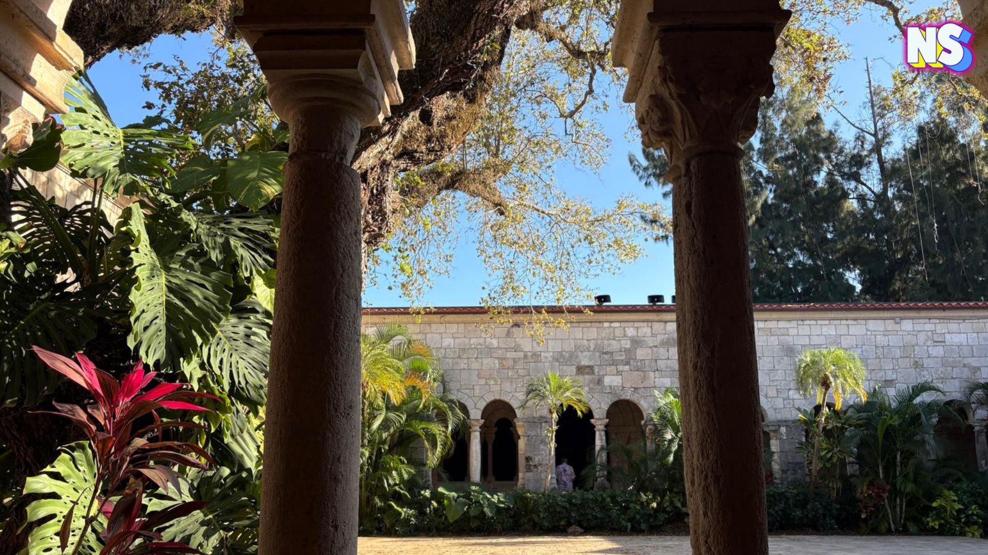
- On the Mexican part of the route, you can find bridges and old cobblestones, villages, haciendas, cemeteries, temples, and chapels.
- In Queretaro, Mexico, we can find a plaque that marks the Camino Real de Tierra Adentro. A few blocks away is the Cathedral of San Felipe Neri ideal to continue knowing the history of the passage of the Spaniards in the region.
- Near the Camino Real de Tierra Adentro road sign in Las Cruces, New Mexico, there is a cozy and colorful Mexican restaurant called La Nueva casita café, a Latino landmark in the region.
Location: Mexico and the United States
Address:
In the U.S.: 13200 Central Ave SW Albuquerque, New Mexico
In Mexico: Hidalgo 4, San Mateo 2da, Tepeji del Río de Ocampo, Hidalgo, México
Google 360-View: U.S. View (the plaque marking the way was destroyed) Mexico View (One of the many bridges with original cobblestones).

